The best site for Historical US Maps
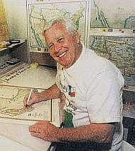
This San Antonio resident has turned his love of history and lifelong fascination with maps into something unique. For over twenty years and hundreds of thousands of miles on the road, Harvey Fletcher, a decorated WWII hero turned cartographer, has restored over 100 different historical us maps, accurate yet artistic.
All part of
The Fletcher & Boeselt Cartographer Collection.
This collection is a remarkable compilation that combines USGS data with historical information. This collection offers a unique perspective on the Untied States.
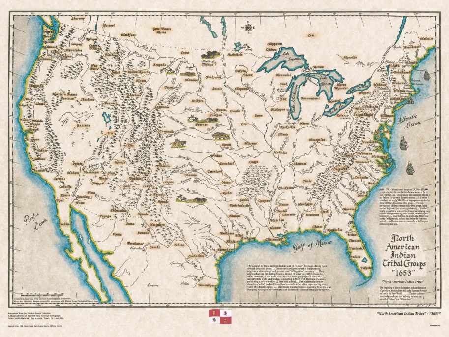
Discover the beauty and history of the United States through a unique website taking you on a journey through time from the Aboriginal tribes dated 1653, to an 1863 map showing the division of States during the Civil War,
Experience the evolution of the country's borders, discover prominent landmarks, and learn about the rich heritage of various indigenous communities. Immerse yourself in these meticulously crafted maps and unravel the fascinating fabric of American history.
All are available in full color, all the maps in his collection have been hand drawn and digitally reproduced.
|
Each map in this collection not only provides an accurate depiction of geographical features but also offers a wealth of historical information. Delve into the important battles and treaties that influenced the shaping of boundaries, discover significant dates that marked key milestones in American history.
Furthermore, these maps illustrate the evolving boundaries of states as they were admitted into the union, offering a vivid depiction of how the country expanded over time.
Included in this collection is The Republic of Texas map in 1836, the Louisiana Purchase 1803, the American Revolution Battle Sites, plus territory maps, such as Colorado in 1861 to Indian territory in 1868.

The 35 United States - 11 Southern States Secede 1863
Delving into the Fletcher & Boeselt map collection is like embarking on a visual journey through the rich tapestry of American history.


